Black Hut
Site Description
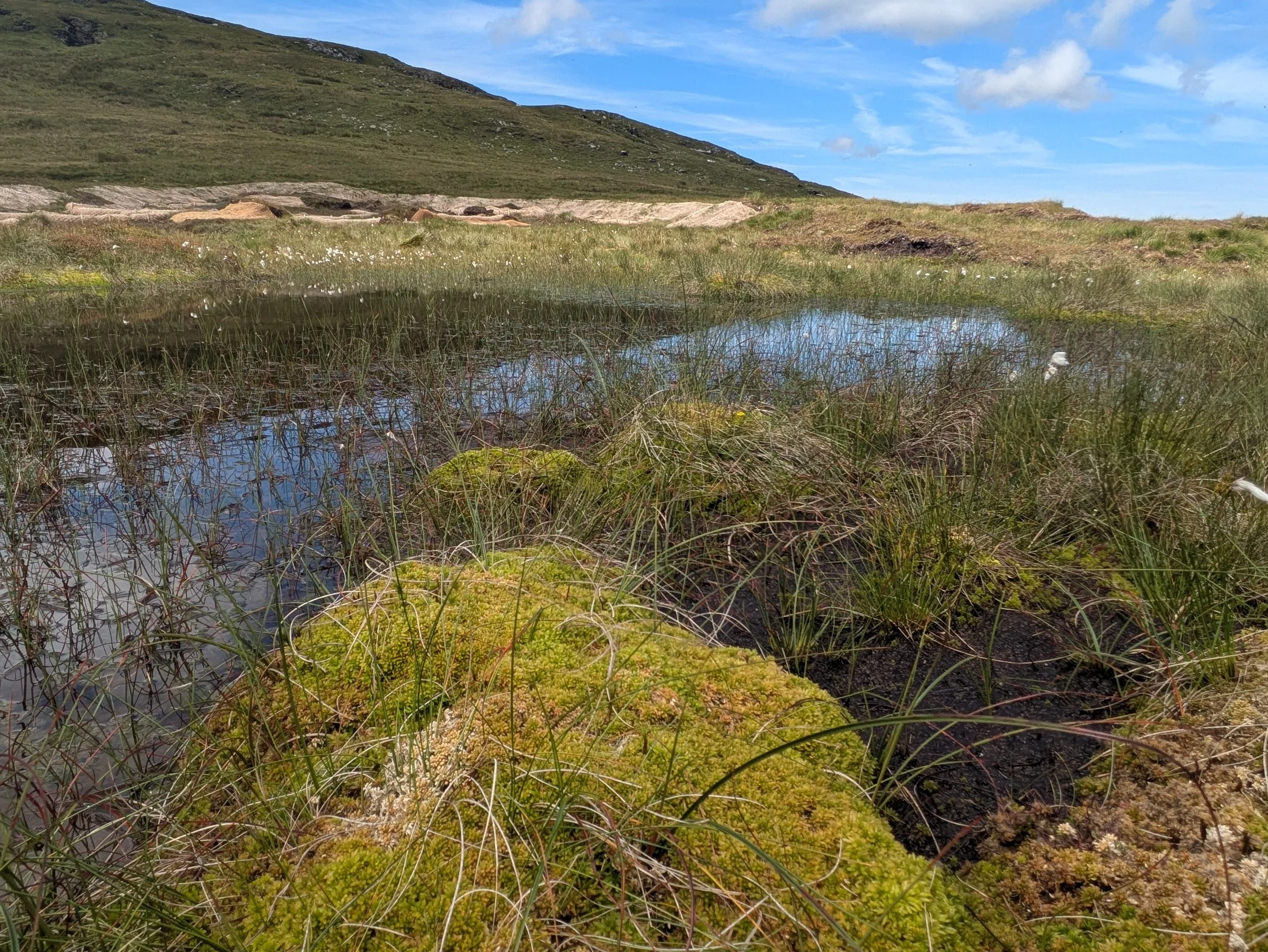
This site is approximately 13 hectares and has some of the deepest upland peat on the Island, with 2.6 metres recorded in places. The peat on the site was historically cut for fuel, leaving eroding peat hags and peat pans. To the east of the A18 mountain road, drainage ditches cut through the site have started to dry the surrounding peat and increased the speed of water running into the Laxey valley. A public right of way runs alongside an old stone wall, however the installation of a temporary bridge over the drainage ditches encouraged walkers to stray from the right of way onto the bog. This has resulted in compaction and erosion of the peat along this desire line.
Work Undertaken
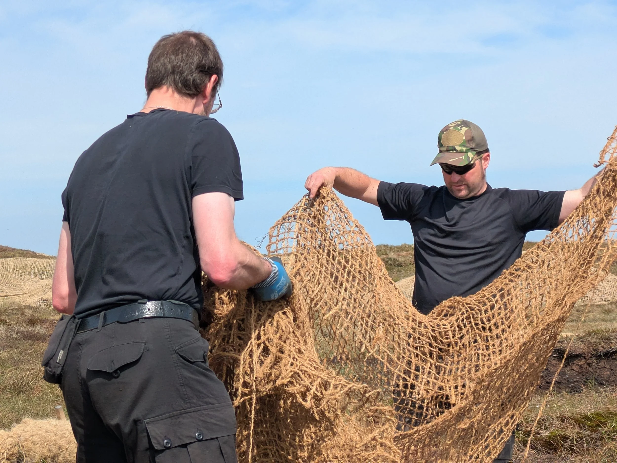
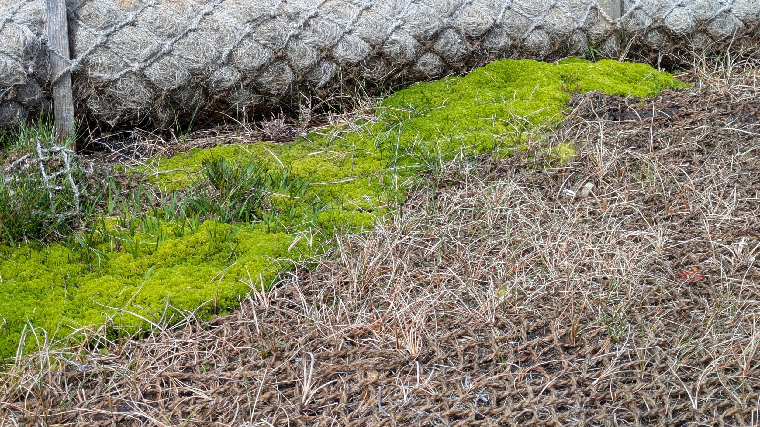
To the west of the road, a digger with low-ground-pressure tracks was used to reprofile eroding peat hags in January 2025. Follow-up work was done to cover any remaining bare peat with heather brash, held in place with coir netting. Work on the peat pans was done with the help of volunteers. Coir logs were installed to protect the peat from the weather and help retain water. Heather brash and coir netting were spread on bare peat and sphagnum moss plugs planted in these areas.
To the east of the road, all of the work was done by hand as there were not many hags requiring work. The temporary bridge was removed and a new boardwalk installed along the public right of way. This enables easier access to walks in the area and protects the bog from further damage. The drainage ditches are slowly filling with vegetation, reducing the speed of flow while still effectively draining water from the road.