Hailwood’s Rise
Site Description
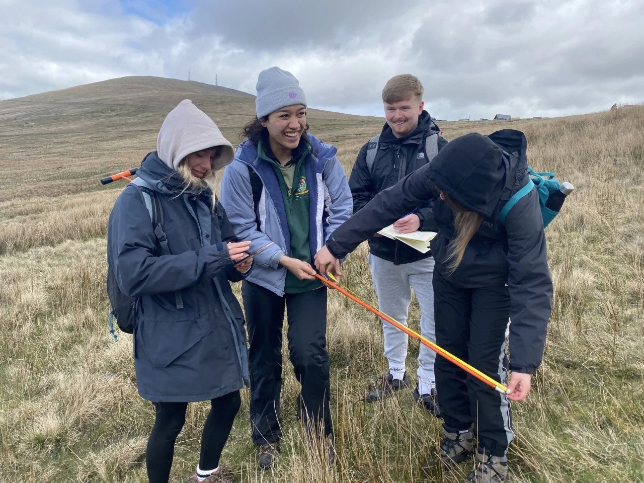
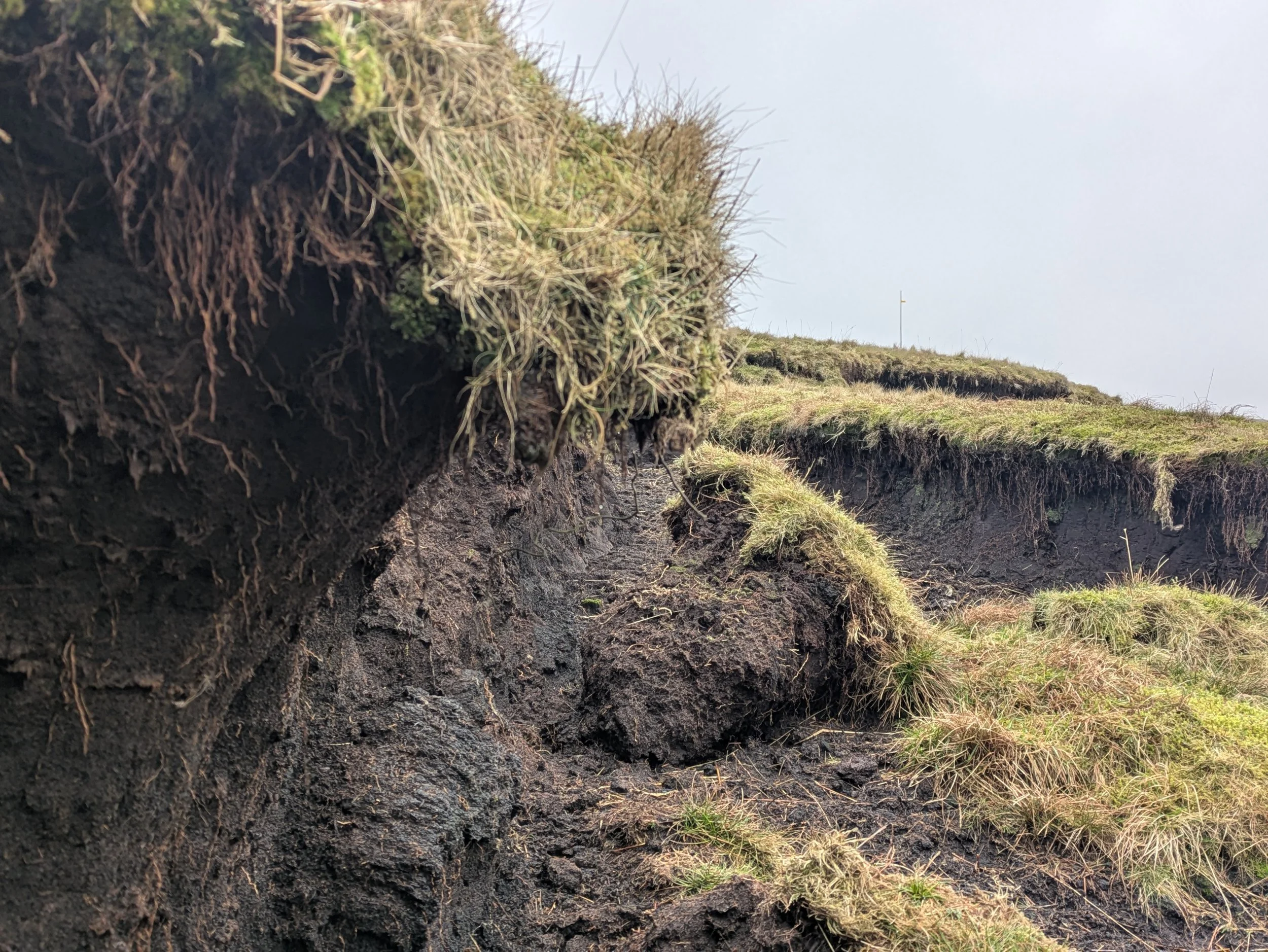
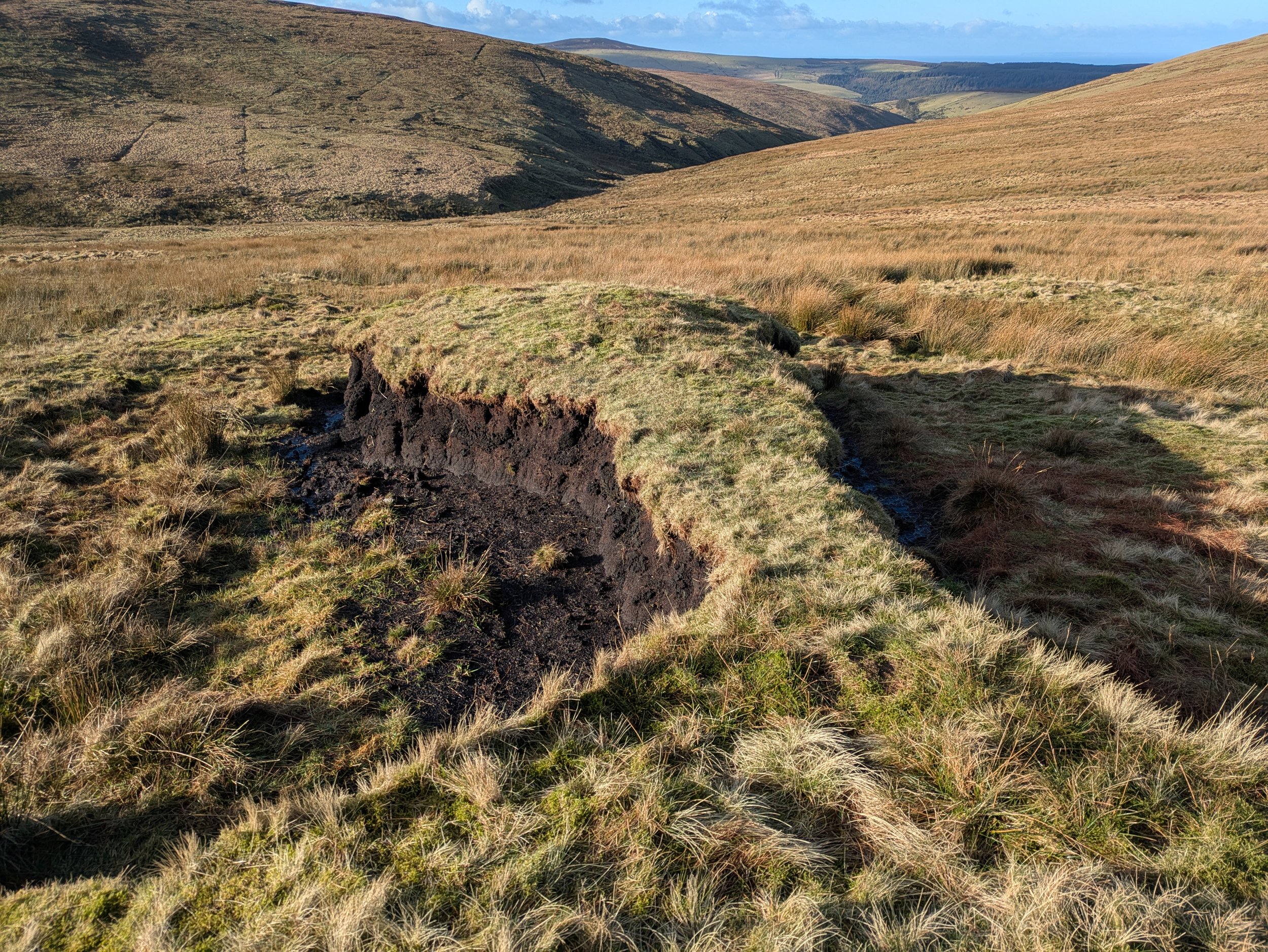
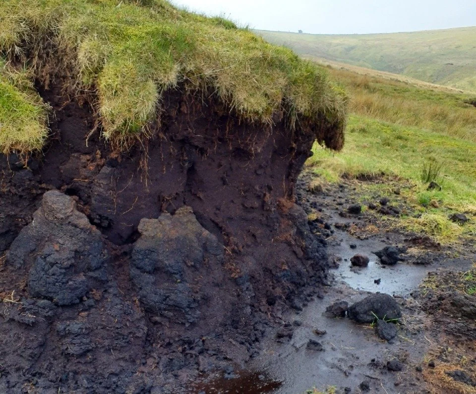
This site is approximately 70 hectares and lies below Hailwood’s Rise on the A18 mountain road. It includes the lower slopes of Mullagh Ouyr, Beinn-y-Phott and Snaefell. There are drainage ditches crossing the site, some of which have largely filled in with vegetation. There are also areas of historic peat cutting which has left eroding peat hags, and there are peat pipes throughout the lower slopes of Mullagh Ouyr. The peat is more than a metre deep in places.
Habitats are a mosaic of upland flush and acid grassland, with small pockets of blanket bog. Upland flush areas are dominated by soft rush, whiles in other areas species include heath rush, cottongrass, polytrichum moss, tormentil, wavy hair grass, matt grass and springy turf moss. Dwarf shrubs are limited in extent and are largely comprised of blaeberry. Sphagnum hummocks can be found in wetter areas. Parts of the site have heavy grazing pressure at certain times of the year, with trampling damage and high levels of dung noticeable.
Work Undertaken
Eroding peat hags were reprofiled using a digger on low-ground-pressure tracks in early 2025. Follow-up work was required to cover bare peat with heather brash and coir netting. Coir logs were used to slow the flow of water in places.
A landslip occurred in the early 2000’s in the southern part of the site, liekly due to subsurface flow from historic drainage ditches. This area was avoided by the digger due to the instability of the ground.